I traveled to Kazakhstan in June 2023 to implement project close-out activities for the USAID CASA-1000 Secretariat Project. CASA-1000 is a multinational power transmission project that will bring surplus power from Kyrgyzstan and Tajikistan to Afghanistan and Pakistan via 1,387km of HVDC and HVAC transmission lines. While transmission line construction and and operation are carried out by several companies located in each of these countries, the US Agency for International Development contracted Energy and Security Group LLC, my former employer, to handle project coordination from a field office in Almaty, Kazakhstan. While our work was originally scheduled to extend past 2023, USAID and the US State Department decided to end US involvement in the project after the Taliban regained control of Afghanistan in 2021.
During my two weeks in Almaty, I took as many opportunities as possible to explore the city and surrounding region in the evenings and weekends. With numerous noteworthy points of interest including the Green Bazaar, the Ascension Cathedral, Panfilov Park, the Medeu ice rink, the Kök Töbe zoo and gondola, and the Trans-Ili Alatau mountains (the northernmost range of Central Asia’s Tian Shan mountains), I knew it was essential to bring a camera that was small and portable while still being up to the task of capturing the vibrant pulse of Almaty and the grandiose landscapes of the mountains. I decided on my Contax G1 and the Zeiss Planar 45mm f/2, along with a handful of Fuji Velvia 100 and Fuji Neopan SS.
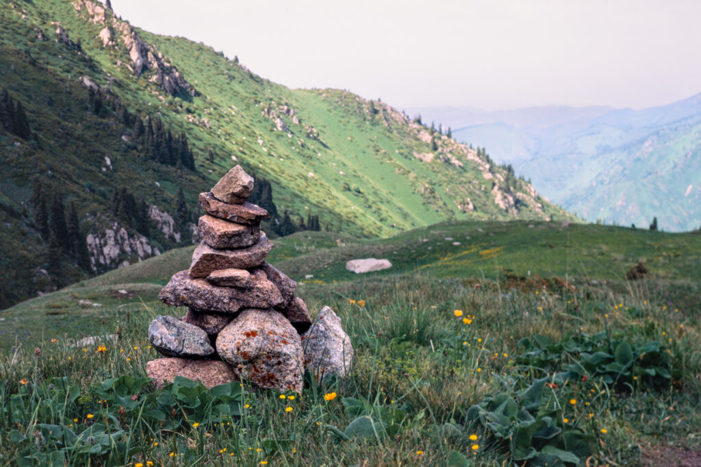
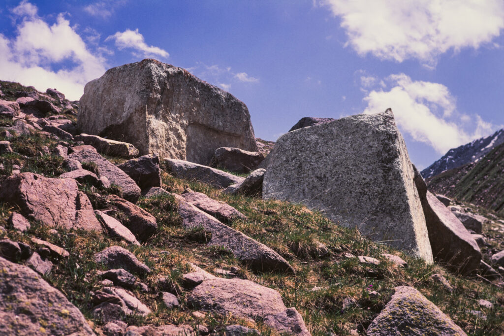
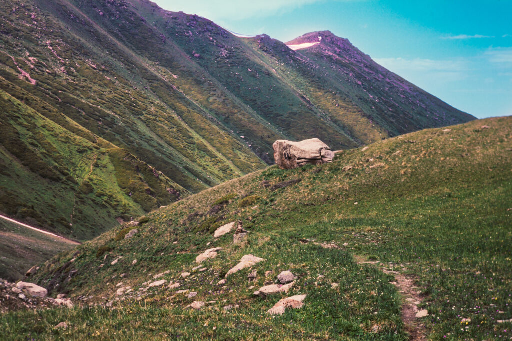
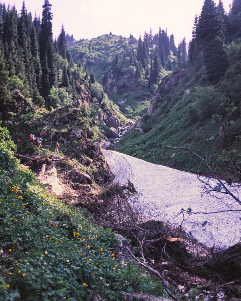
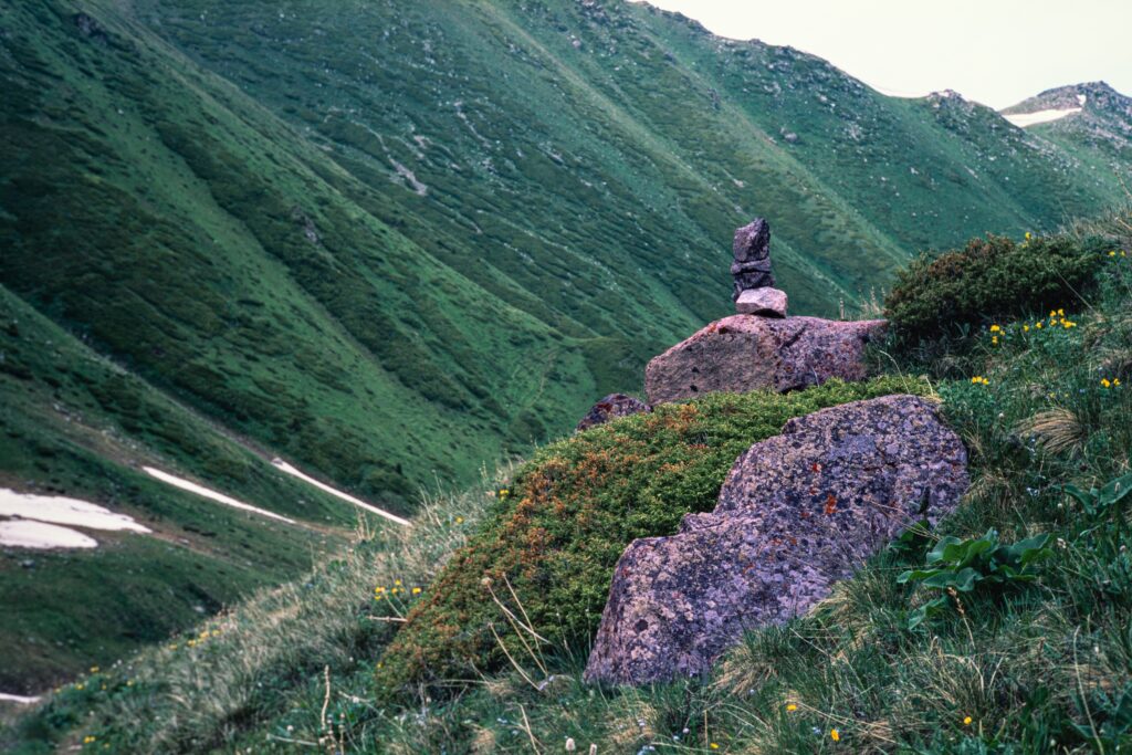
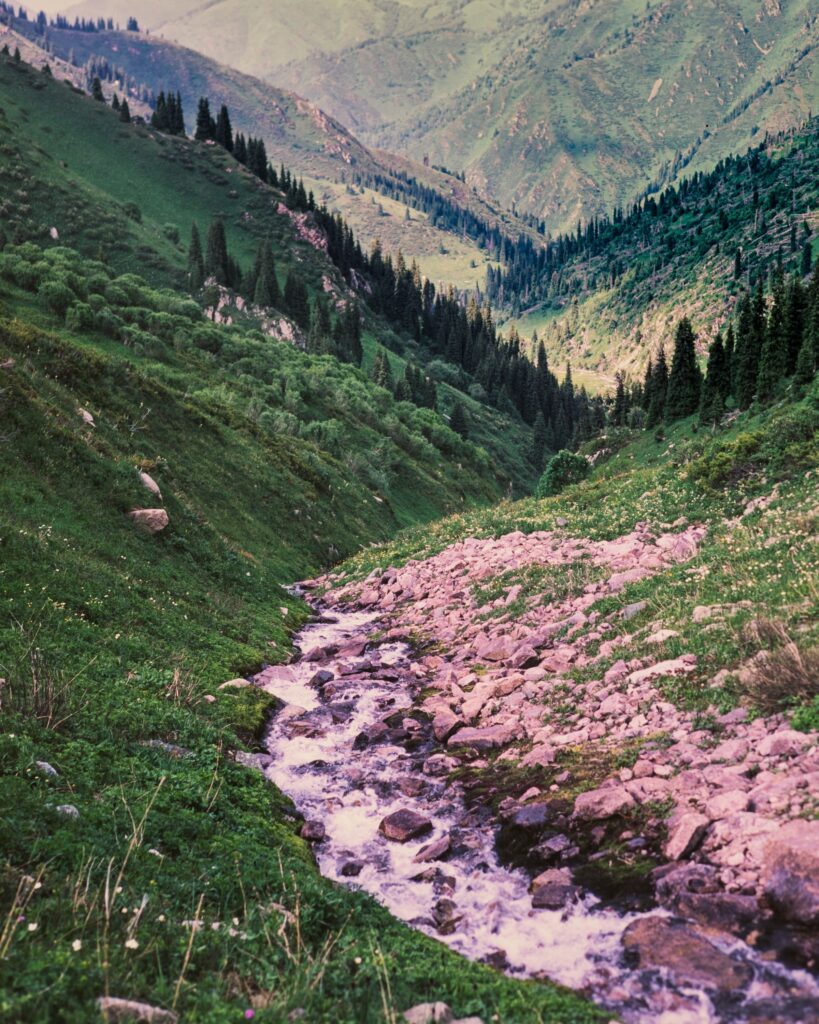
Above: A selection of film photographs from Gorelnik Gorge. Contax G1 | Zeiss 45mm f/2 Planar | Fuji Velvia 100
Overall, the hike from Medeu to Titov Lakes and back was 23.4 kilometers and accounted for more than 1,500 meters of elevation gain.
I started around 630am by taking a taxi from my hotel in downtown Almaty up to the Medeu ice rink, located 1,691 m (5,548 ft) above sea level, roughly 18km from my hotel. At this point, cars cannot go further up the road toward the Cafe Apa Katya and Gorelnik Visitor Center, with the exception of electric vehicles.
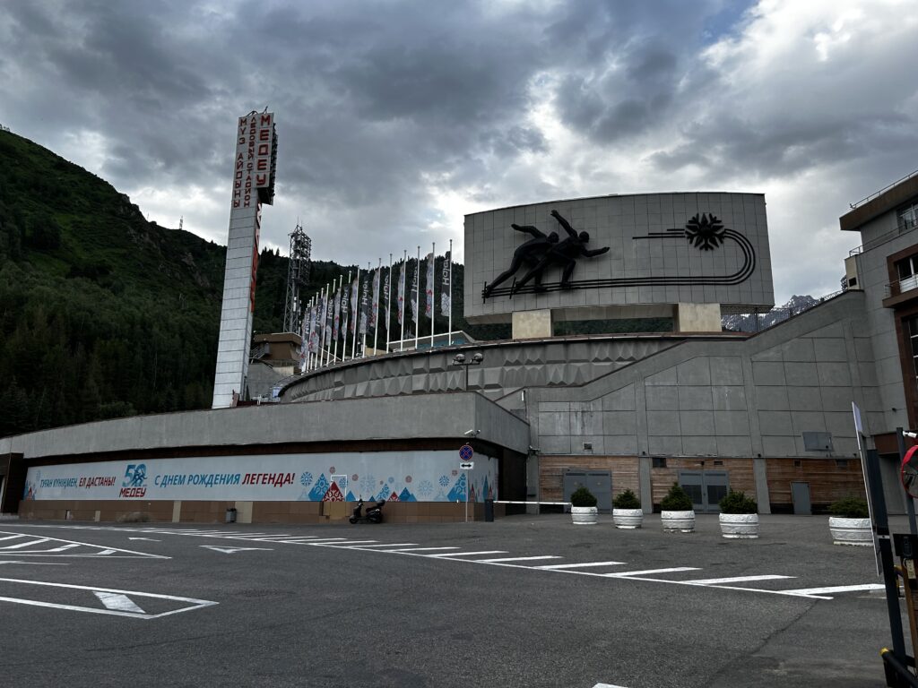
The Medeu ice rink
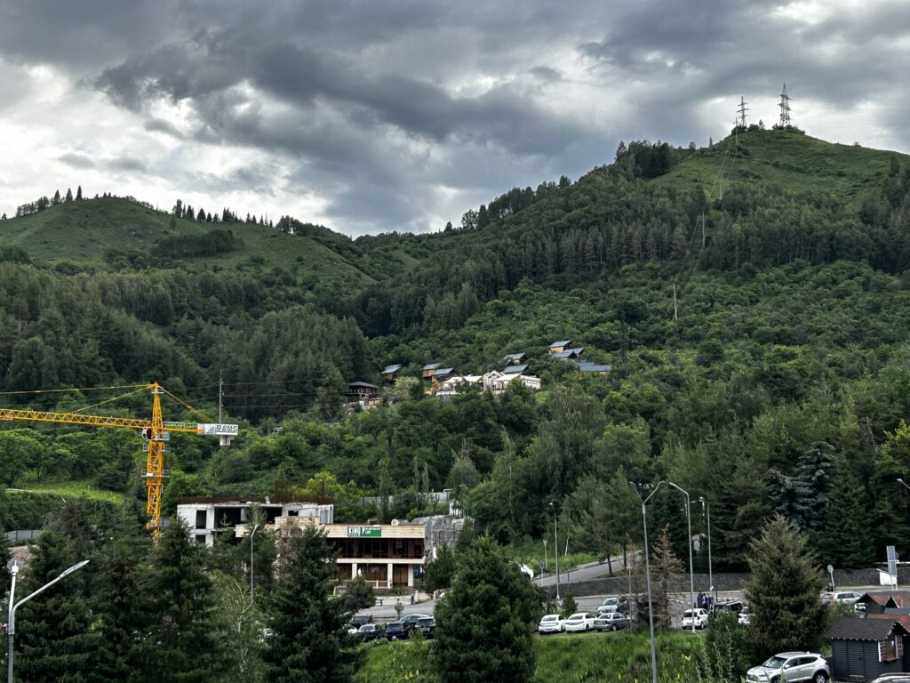
The foothills and businesses surrounding the Medeu ice rink
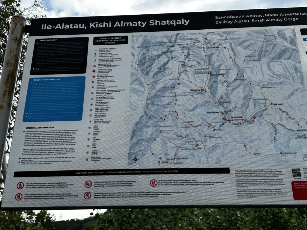
Between the Medeu ice rink and the Gorelnik Visitor Center, there are numerous highly detailed maps.
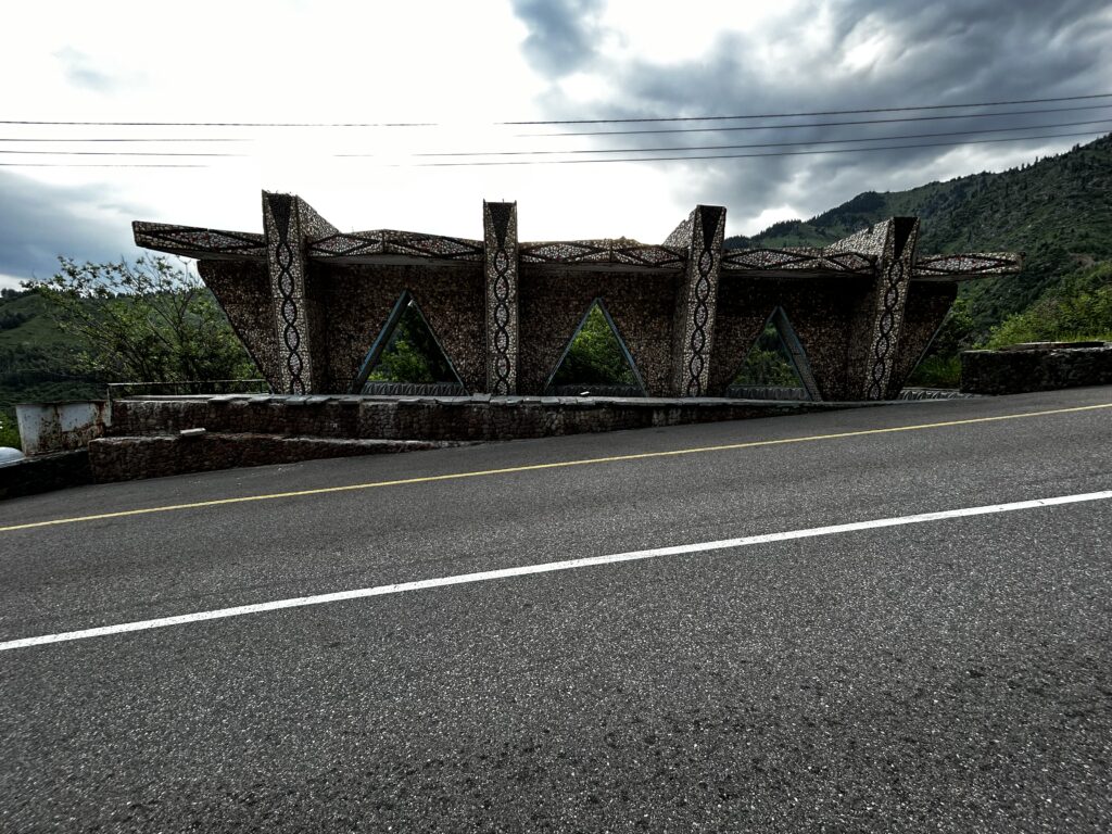
There are several interesting pieces of architecture on the road up to the Gorelnik Visitor Center.
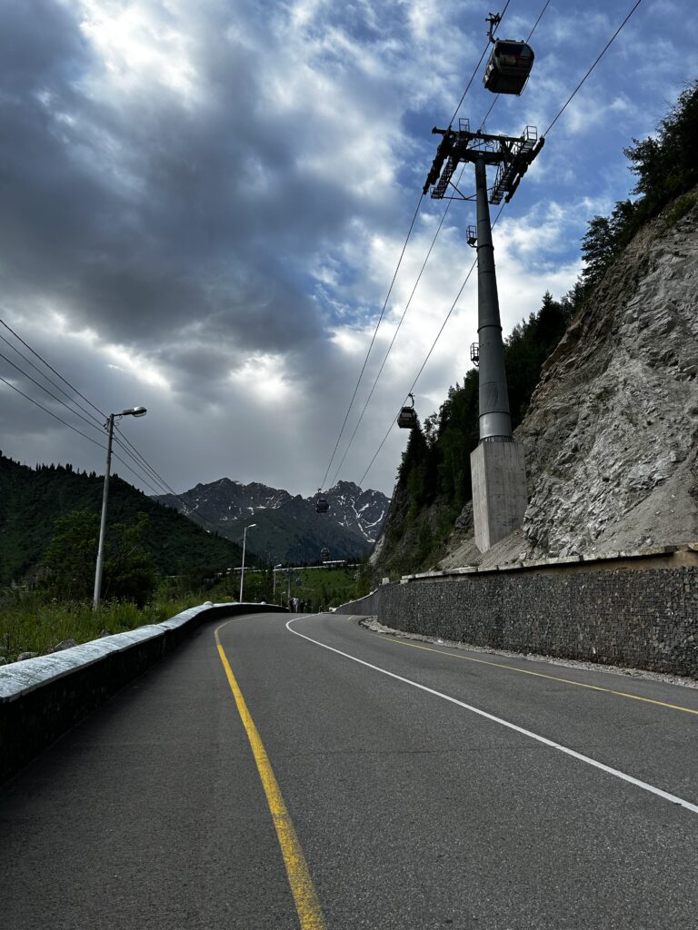
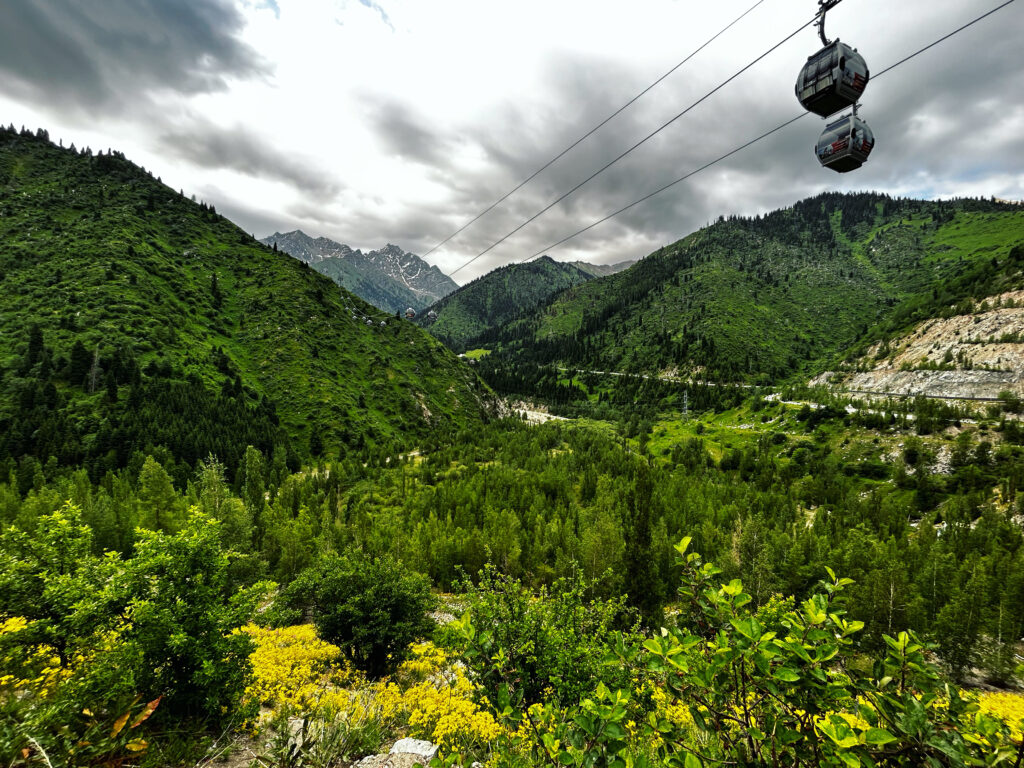
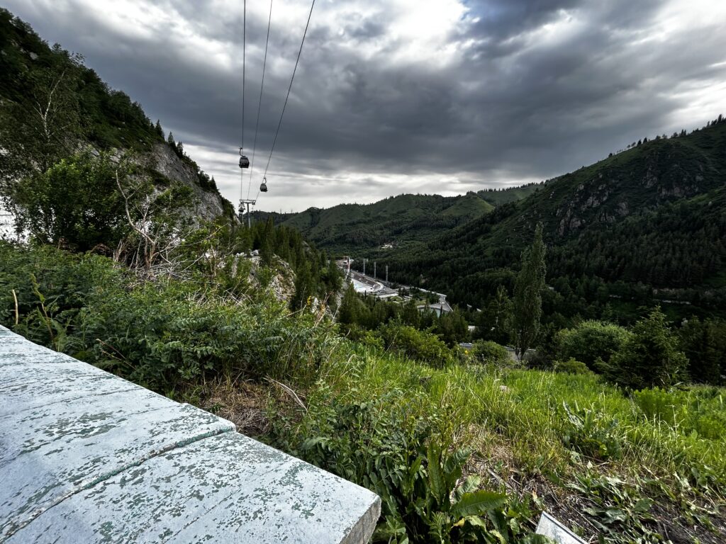
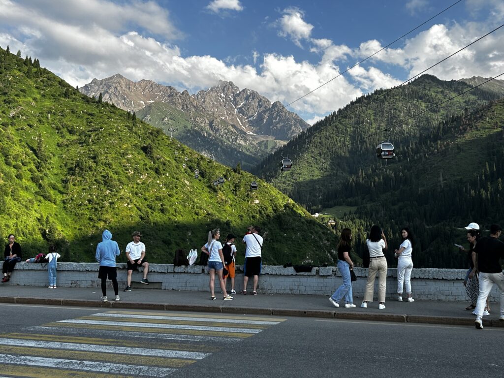
The gondola up to Shymbulak passes overhead on the road to the Gorelnik Visitor Center. Looking back, you can see sweeping views over Maloalmatinskoe Gorge, and the Medeu ice rink also comes into view. Along the road, several viewpoints offer pedestrians a view over the valley.
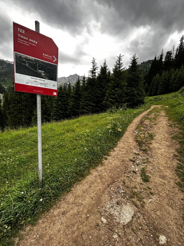
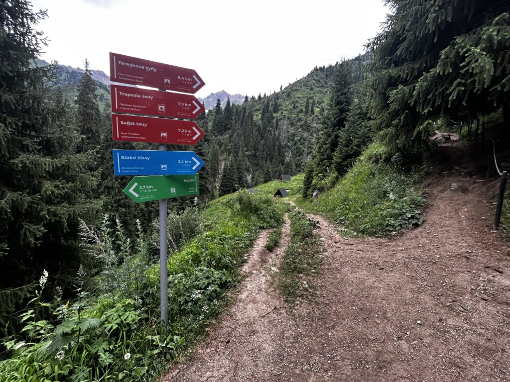
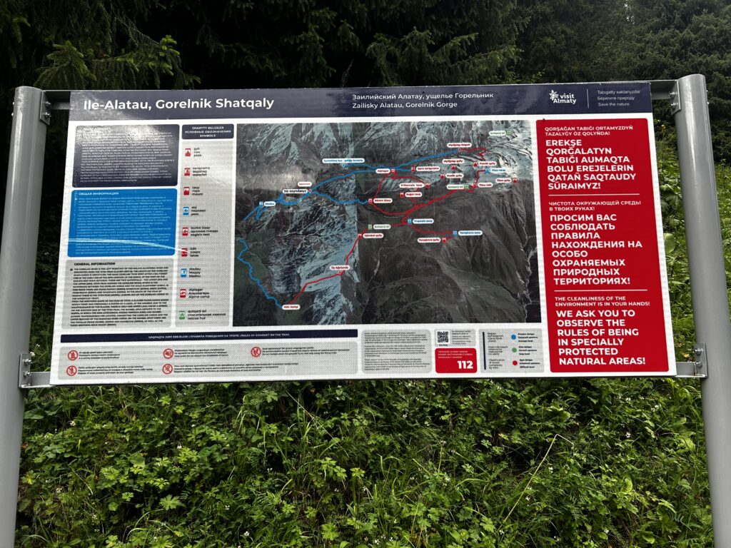
Just past the Gorelnik Visitor Center, a series of signposts along the trail begin to point the way south into the mouth of Gorelnik Gorge, culminating in the Titov Lakes, Pik Titova, and Titov Pass. I passed these three signs between 8:23 and 8:25am.
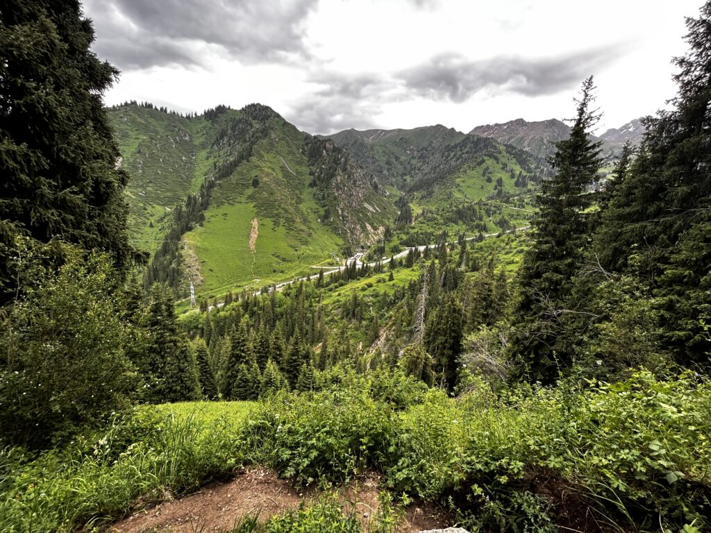
The service road to Shymbulak can be seen in the background. After passing this point, I am fully surrounded by wilderness until my return.
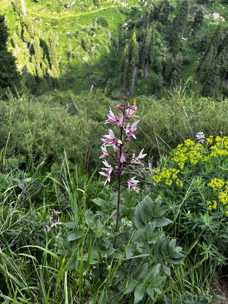
A poisonous dictamnus angustifolius plant, one of the first of many wildflowers I would come across on this hike.
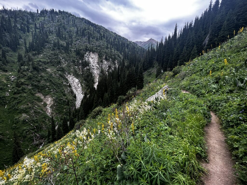
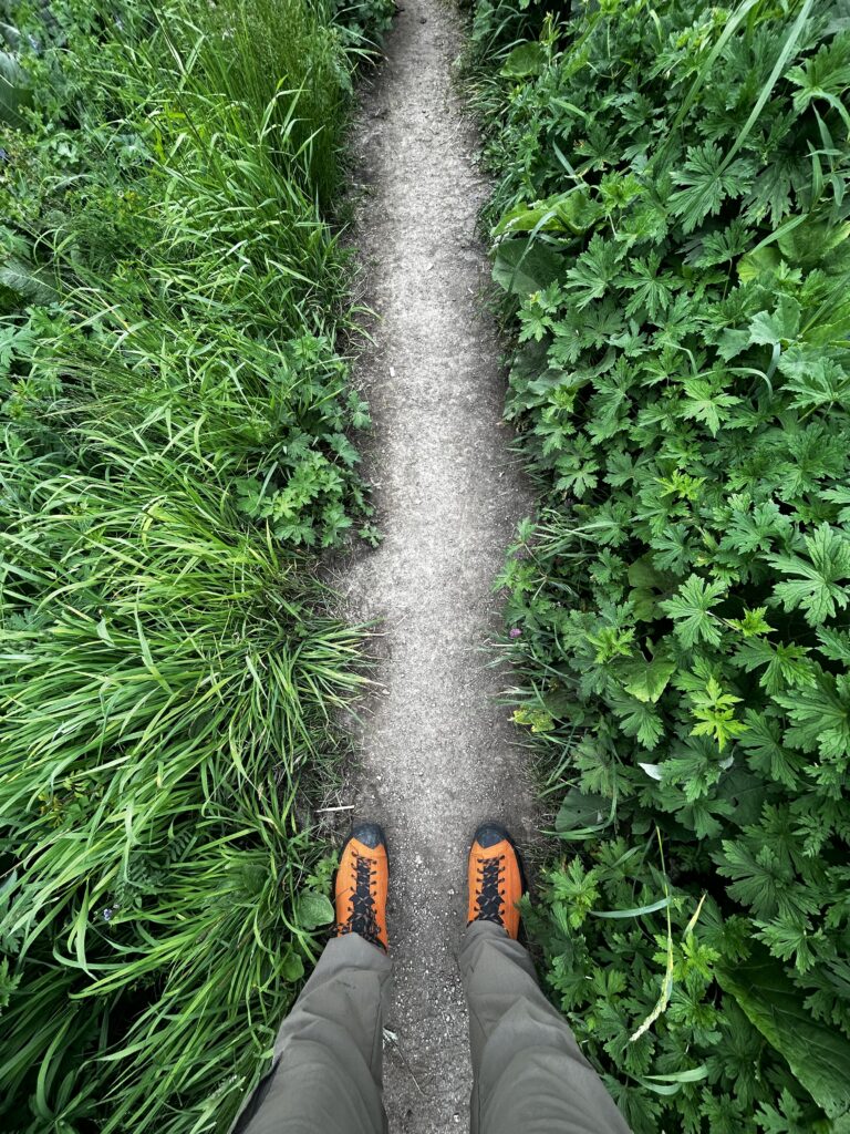
A well-packed and narrow single track path, worn over time into the side of 45 degree slopes, characterizes much of the early portions of this hike.
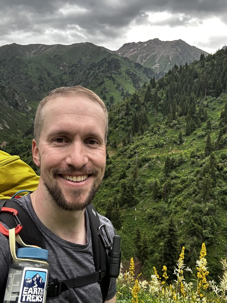
A quick selfie along the trail — it’s about 8:45am now.
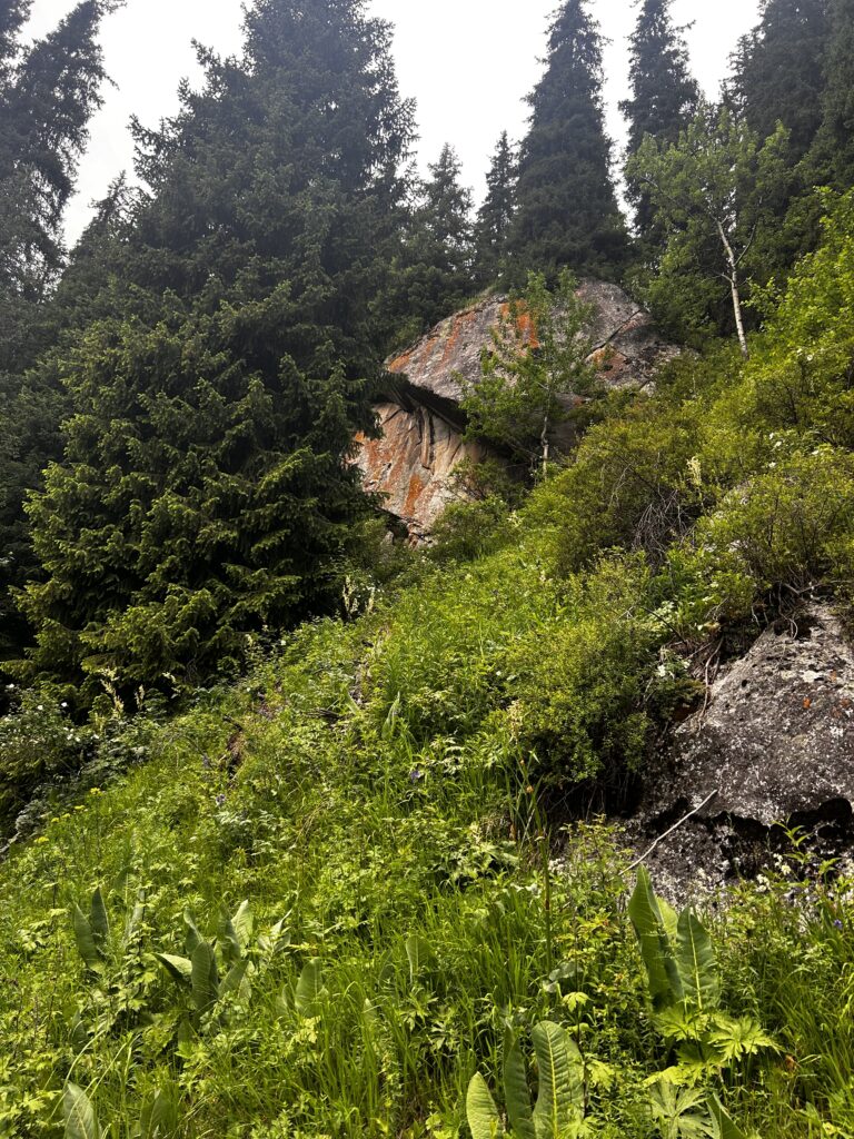
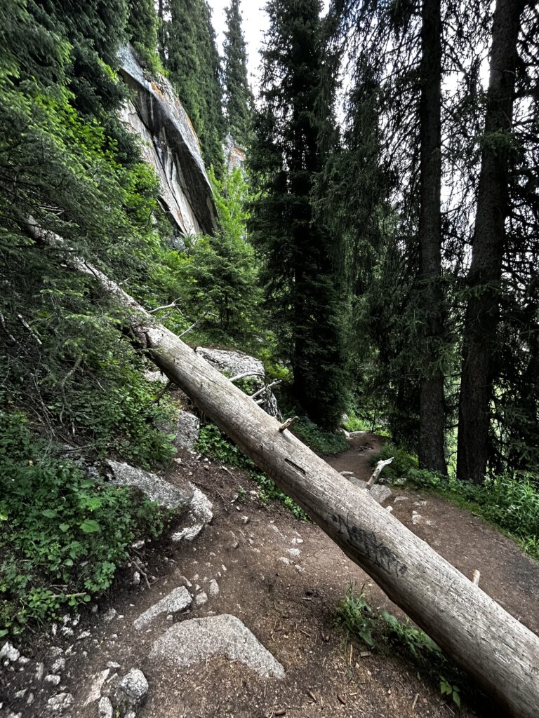
A few minutes later, sporadic patches of bare rock loom overhead and fallen trees occasionally block the path as the trail meanders into a forested area.
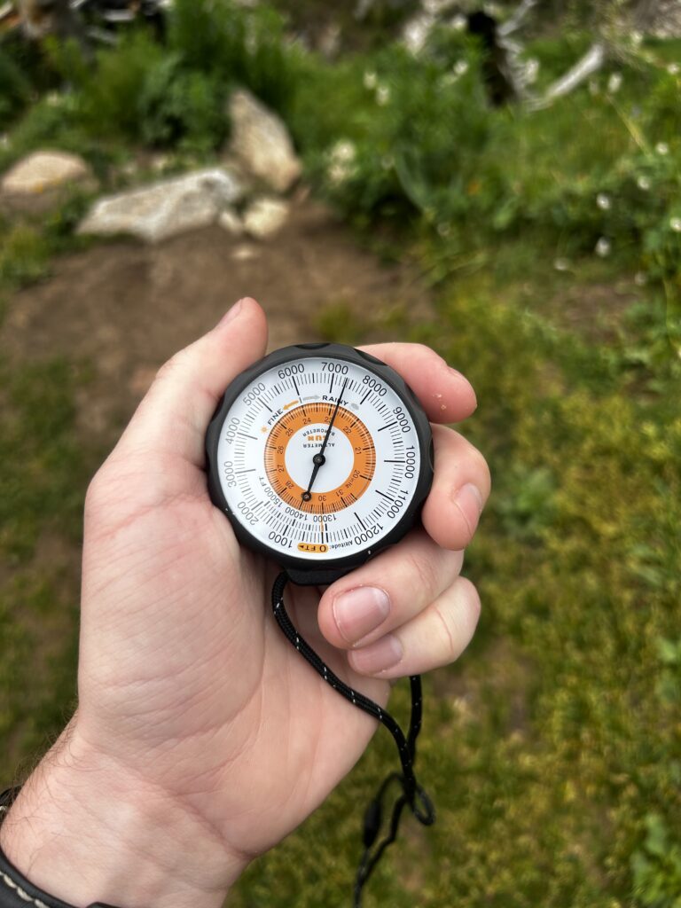
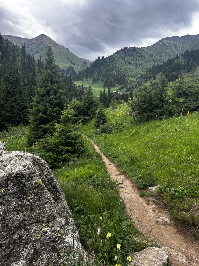
I’ve been gaining a bit of elevation. I believe this is Mt. Qumbel (ridgeline on the right side) and Mt. Pribornaya (tall peak on the left).
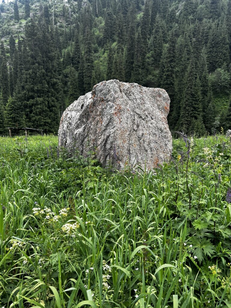
Many large granite boulders pepper the landscape on the way up the gorge.
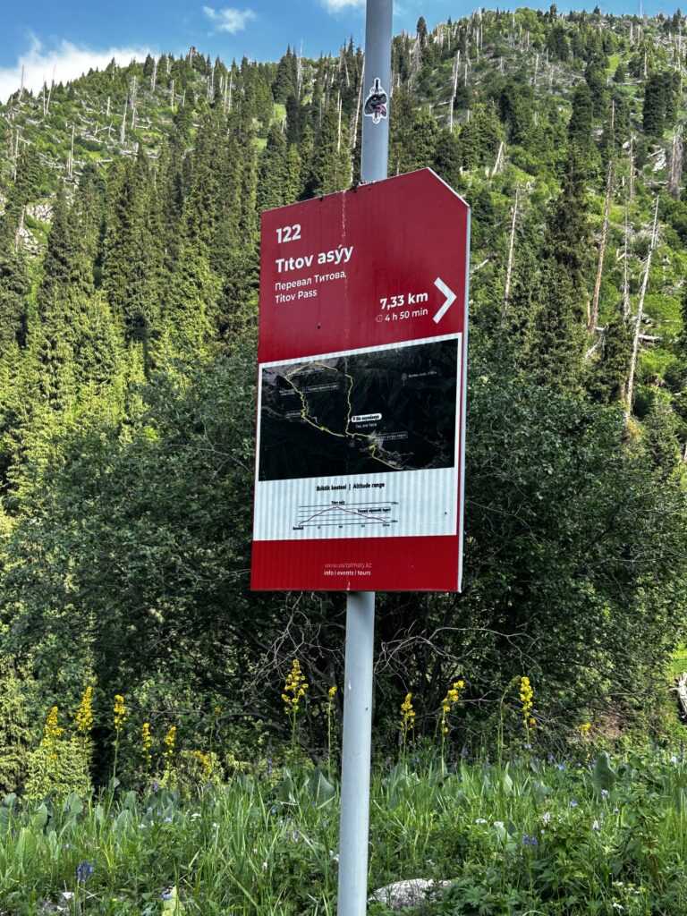
Another signpost leads me onward to Titov Pass.
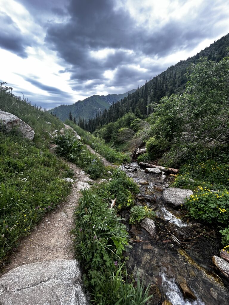
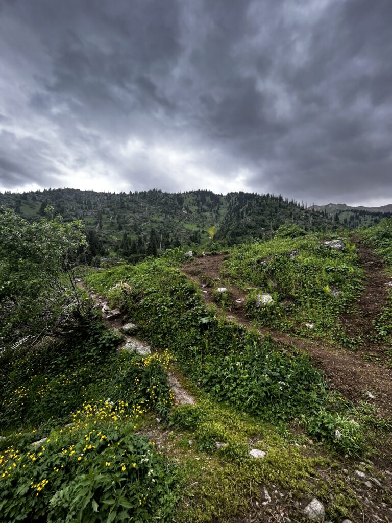
Just before 9:15am, I come across a small stream at 2300 meters, at the base of Mt. Chasovaya. Moody clouds huddle overhead. The stream carries cold fresh water from the glaciers uphill, but I err on the side of caution and purify the water anyway before drinking.
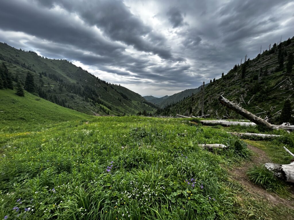
I continued ascending before turning to take a look behind me around 9:30am. The grass is lush green, and purple wildflowers spring to life, juxtaposed with dead tree trunks pushed downhill during a winter avalanche.
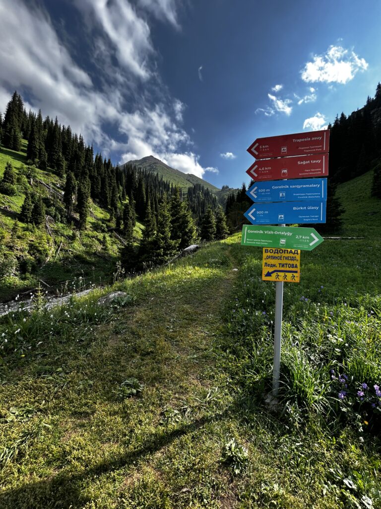
As I keep moving, yet another signpost shows me the way.
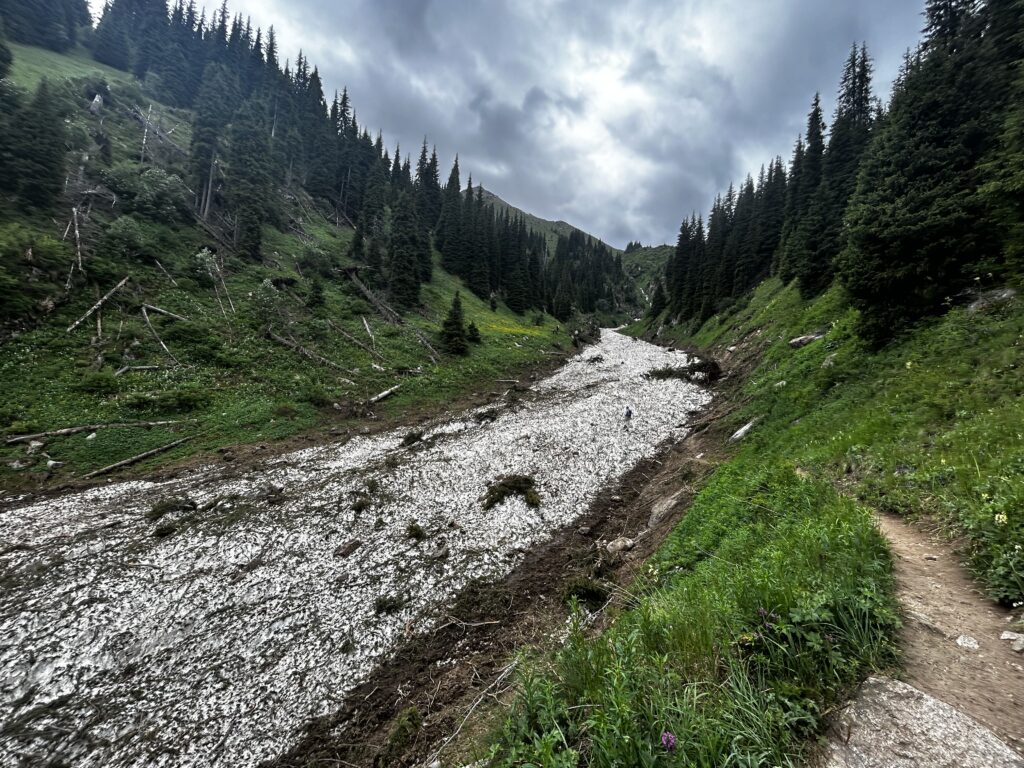
From this point onward, much of the Gorelnik River is frozen, even in late June.
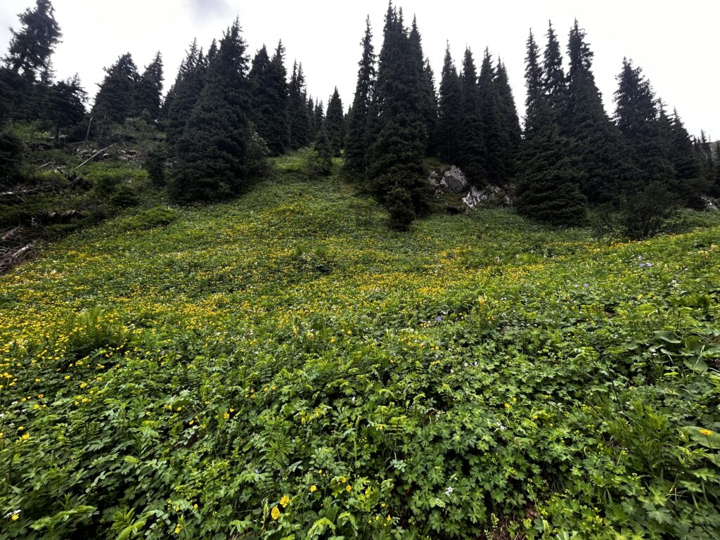
Wildflowers remain abundant, and I still have some distance to go before I reach the tree line.
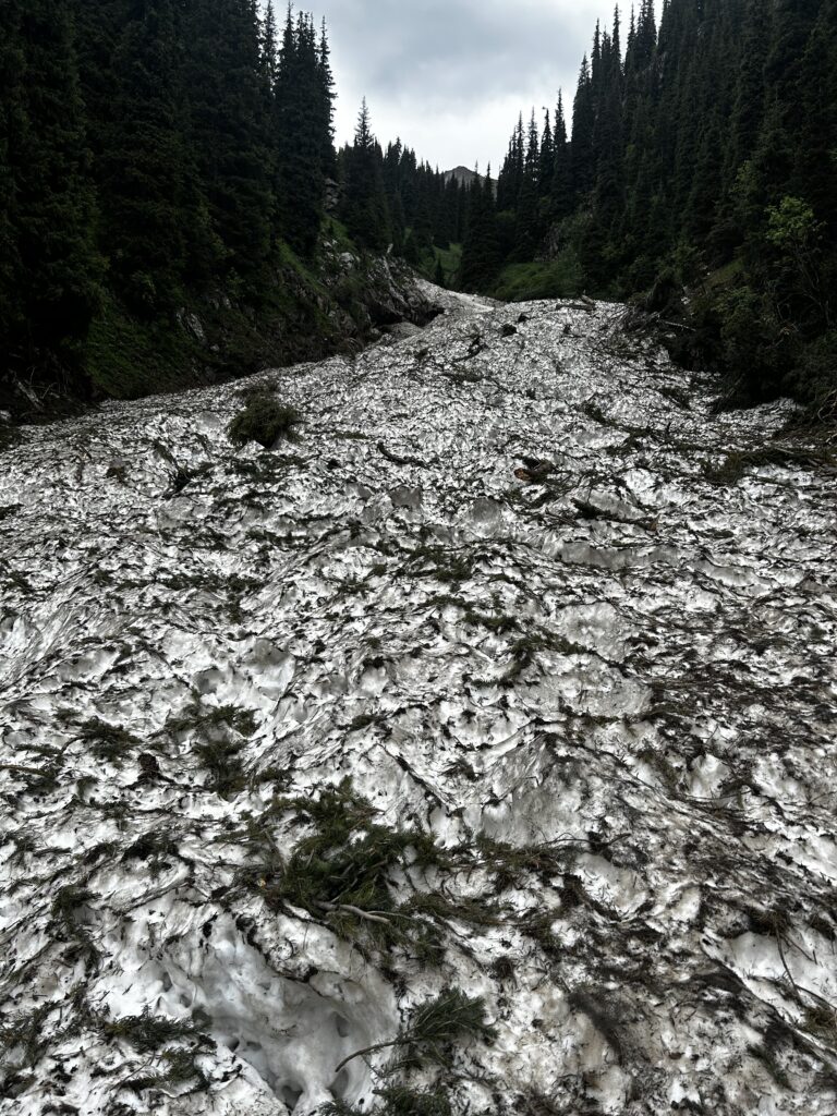
Further along, the trail must cross the river, which at this point is a slippery, cratered surface of snow, ice, and broken tree branches. Fortunately, I brought my crampons and ice ax along for added traction.
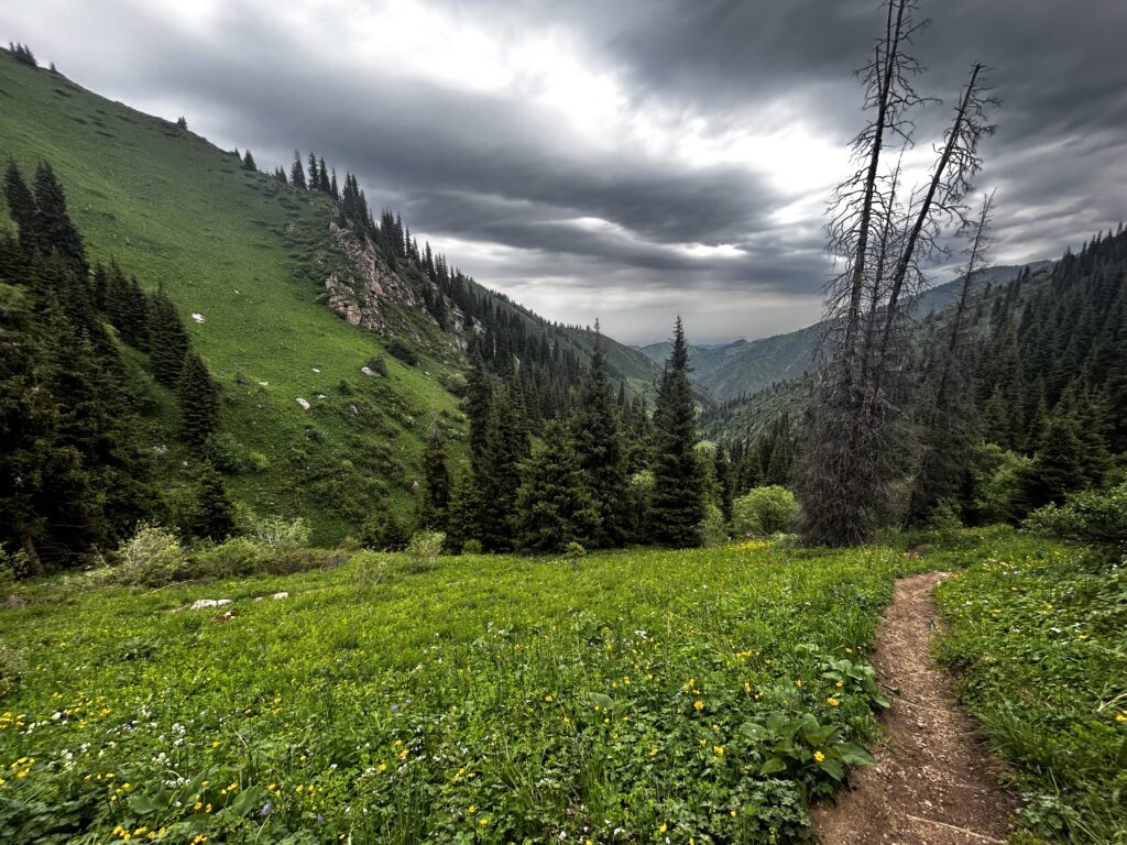
By 10:00am, trees are getting more sparse but wildflowers are ever-present.
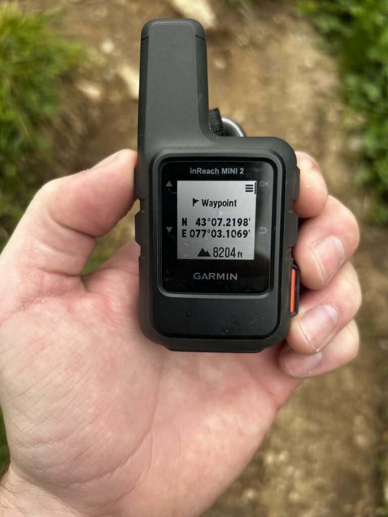
Approaching the Орлиное гнездо (Eagle’s Nest), the trail branches left (toward Shymbulak) or right (toward Titov Pass). I turn right.
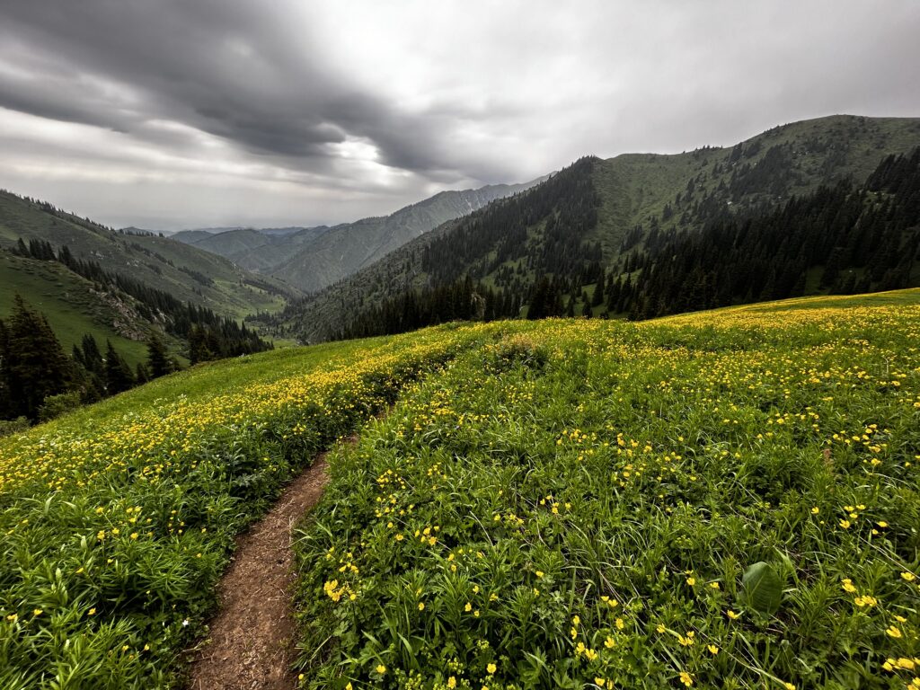
Further uphill, I stand in an alpine meadow and turn back to see the gorge and dark clouds behind me.
A cold mountain stream rushes downhill toward Almaty.
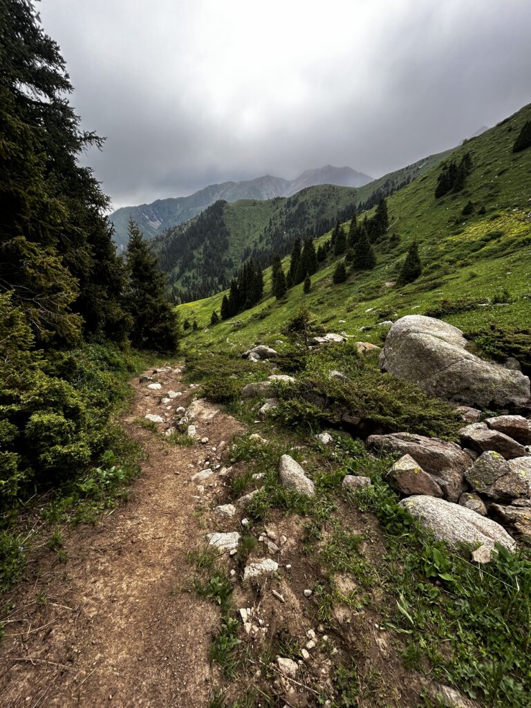
Around 10:35am, the trail gets rockier and continues rising, approaching cloud level.
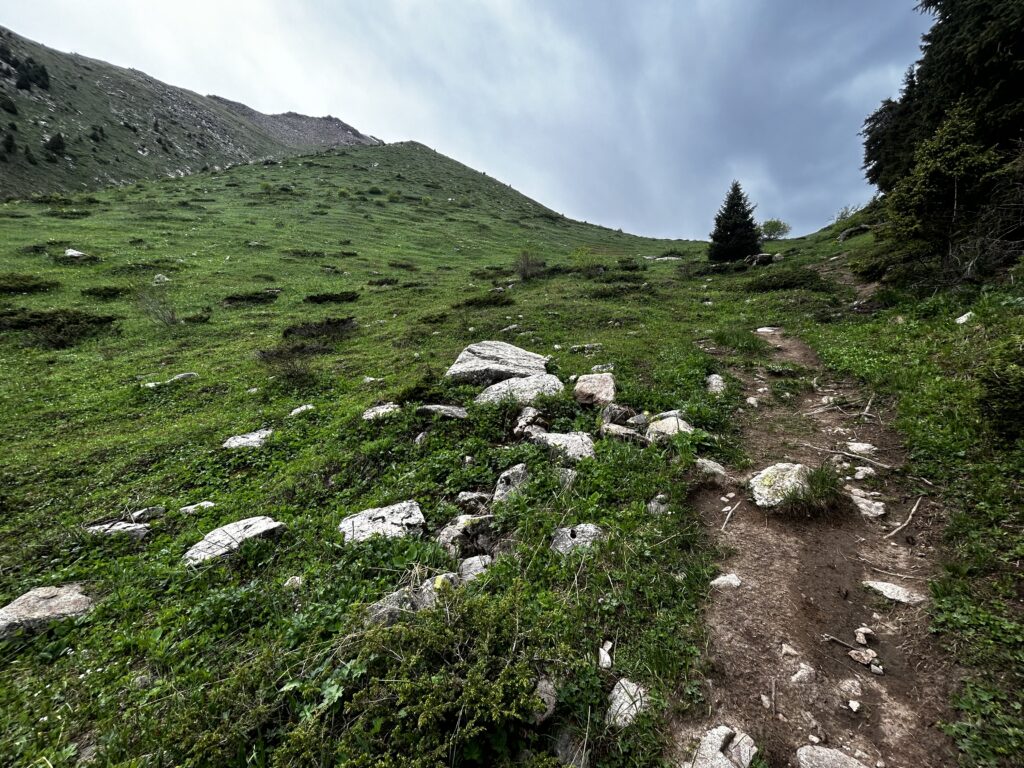
A few minutes later, a small col marks the entrance to the upper half of the gorge.
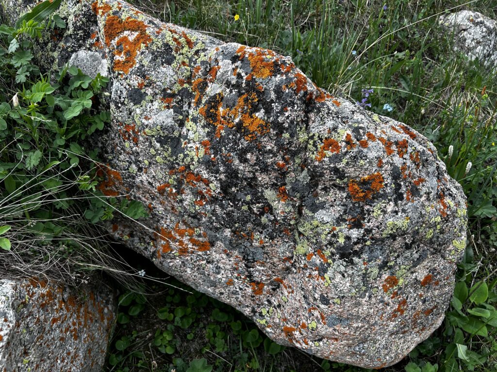
At higher altitudes, increasing amounts of colorful lichen can be found on the granite boulders strewn across the landscape.
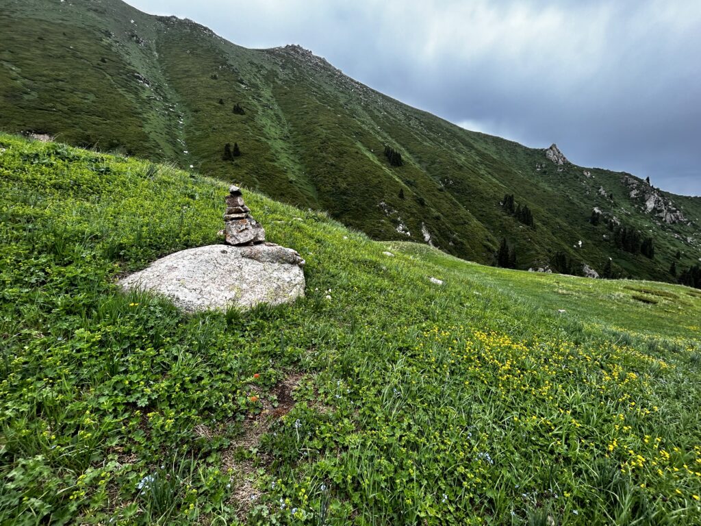
As the small dirt trail periodically disappears, small cairns begin to mark the path forward.
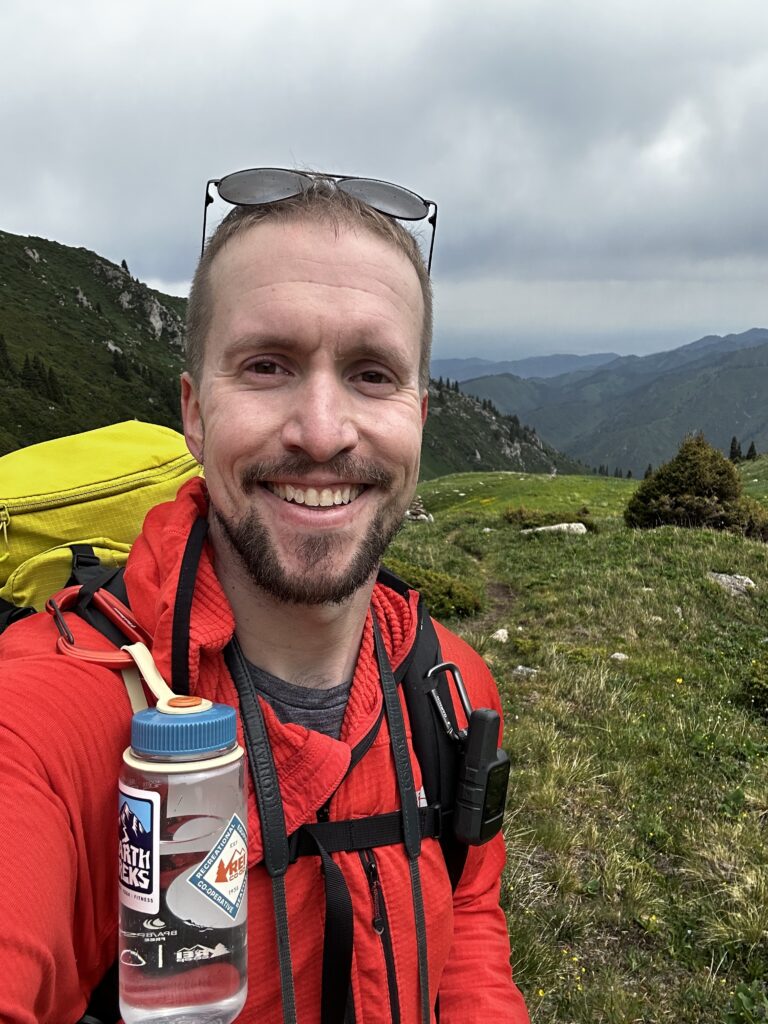
As I approach 10,000 ft / 3,050 meters, the temperature begins to drop slightly, so I put on a fleece layer and keep moving.
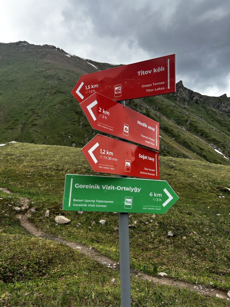
At 11:35am, I’ve almost reached the top. The lakes below Titov Pass are only 1.5km away, but the path ahead is steep and rocky, so the sign estimates that hikers will need another 1-2 hours to travel this distance.
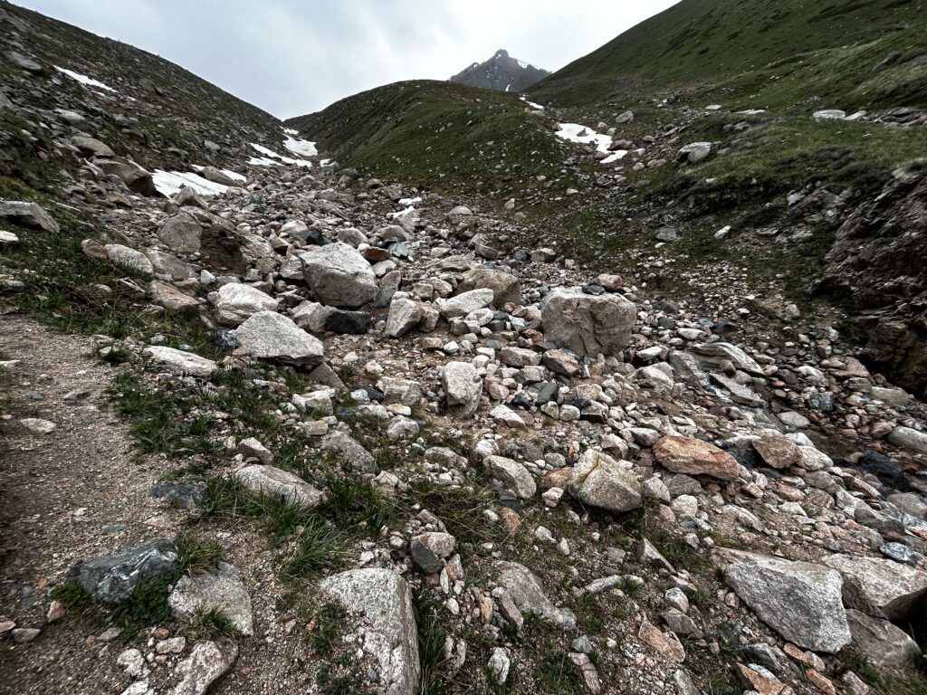
A talus field, leftover snow, and a small rushing stream provide a bit of a challenge ahead of the next crest before the ground levels out and the approach to the Titov Lakes begins.
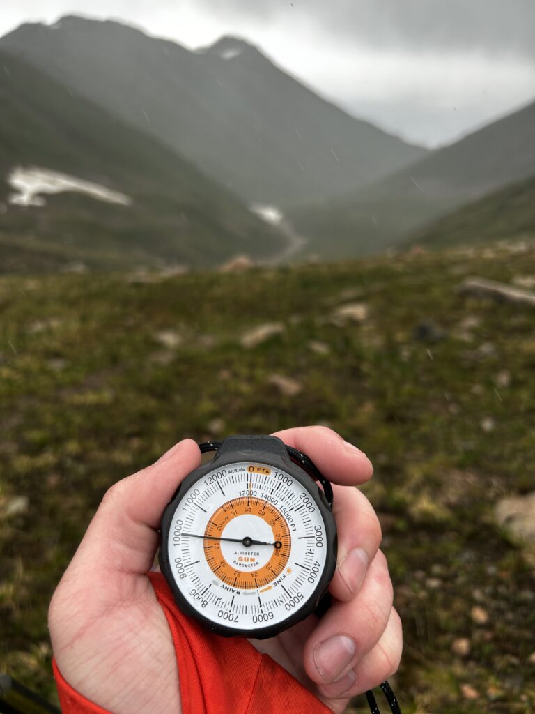
Fifteen minutes past noon, I’ve reached 10,000 ft / 3,050 m and it has begun to snow.
At roughly 10,800 ft / 3,292 m, the temperature drops and the snow and wind increase as Titov Peak looms overhead in the distance.
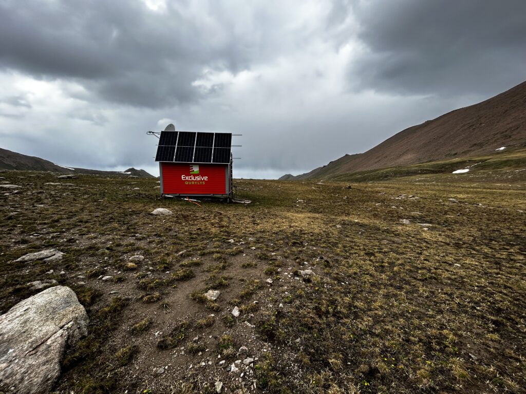
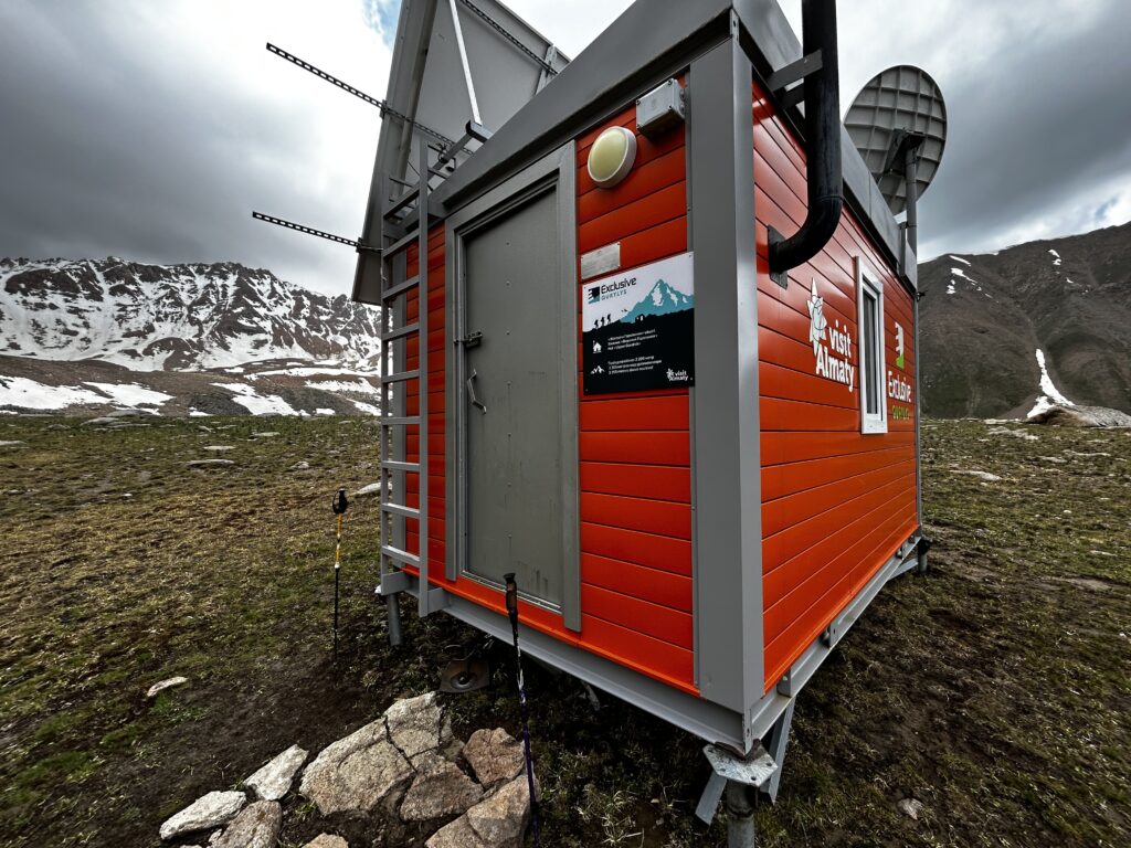
A nearby shelter provide travelers a place to warm up and rest overnight.
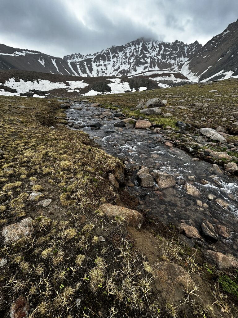
A larger stream flowing from Titov Lakes, with Titov Peak in the background, will eventually join the other streams lower in the gorge.
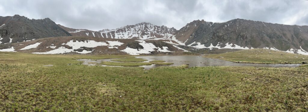
A large, near-frozen marsh surrounds the edge of the first lake, with Titov Peak in the center background. Hikers must go around this first lake and over the hill behind it, which reveals a second deeper lake with icy blue water. The mountain on the left is steep and barren, characterized by a scree field that would make climbing challenging. Titov Peak is in the center, and a long mountain ridge sits to the right. The top of the hill in the center-left of the image is at 11,088 ft / 3,380 m, and snowbound Titov Peak in the central background reaches an altitude of 12,700 ft / 3,871 m.
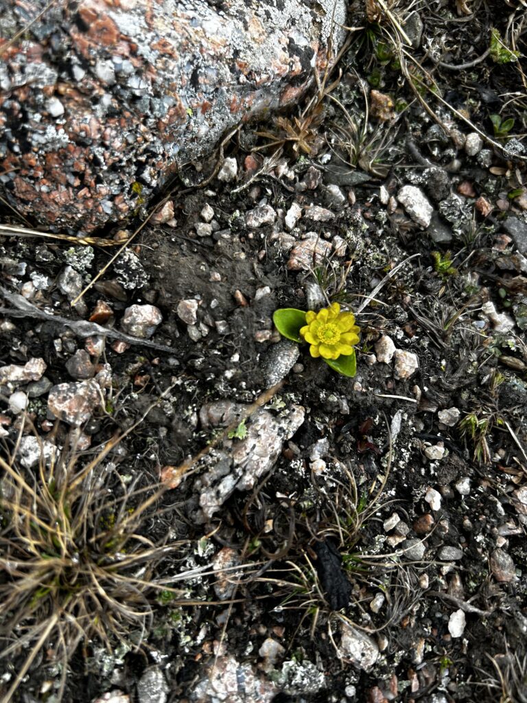
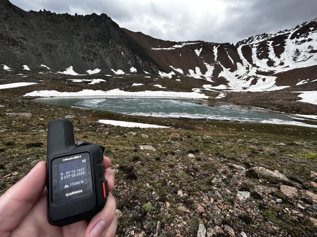
Even at 11,088 ft / 3,380 m, small wildflowers cling to life in the chilly weather. The flower is likely a ranunculus transiliensis or another species in the ranunculus genus of flowers that thrive in Central Asia’s high alpine regions.
PLACEHOLDER FOR SECOND HALF OF GORELNIK GORGE
Exploring Almaty: An Eclectic Mix of Ornate Tsarist Architecture, Soviet Brutalism, and 21st Century Development
If you pick up any travel guide or history book that discusses Kazakhstan or the broader Central Asia region, you will quickly learn that Almaty has a long and complex history. From the arrival of early Bronze Age settlers some 3,000 years ago to the city’s status as an important trading station on the Silk Road during the Middle Ages, this metropolis has been bustling with activity for generations. As a result of the city’s strategic location and importance to traveling merchants, the wild apples that are native to the surrounding Tian Shan mountains were first cultivated into their modern form and spread across the world. If you’ve ever enjoyed apple pie, you can thank the people of Almaty. Even today, Almaty boasts thousands of businesses ranging from small boutiques to large industrial operations, and the famous Green Bazaar gives visitors a taste of wandering through a busy ancient market, despite its quite modern origins during the latter half of the Soviet period. As the influence of the Russian Empire grew in the 1700s and 1800s, Almaty continued to grow in terms of population and in economic and military significance. At the turn of the 20th century, classic examples of Russian imperial architecture, such as the Tsarist-era Ascension Cathedral (“Вознесенский собор” in Russian and “Вознесенск кафедралы шіркеуі” in Kazakh), were constructed in Almaty.
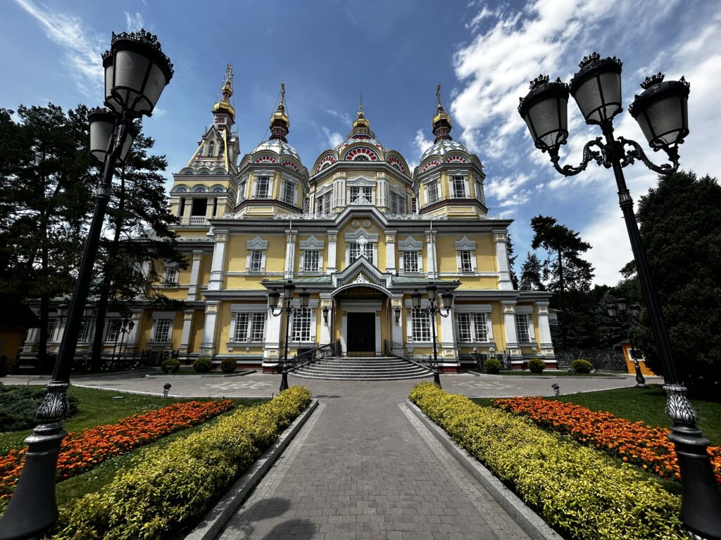
Located in the quiet and picturesque Panfilov Park in the city center, Ascension Cathedral is an example of the artistic mastery of Ukrainian and Russian carpenters. It is notable for being one of the tallest wooden churches in the world. For more information on Panfilov Park and Ascension Cathedral, see Lonely Planet’s Central Asia travel guide (8th Edition – November 2025) at pg. 291.
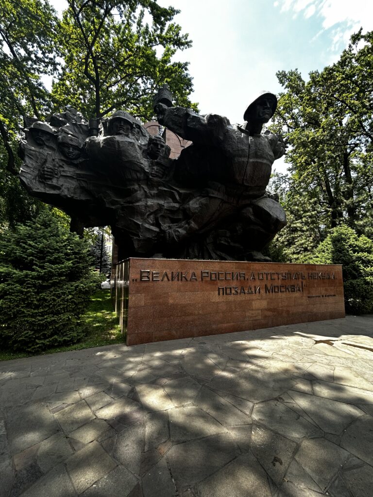
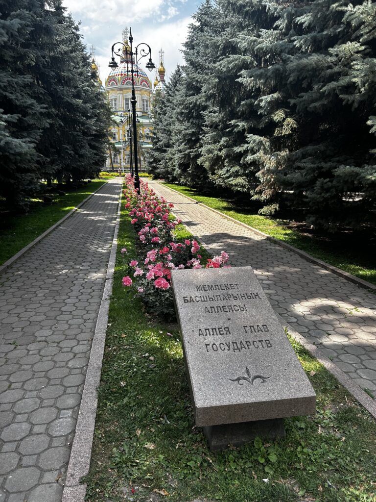
Panfilov Park features numerous gardens with colorful and radiant flowers, peaceful tree-covered lanes for walking, and a memorial to Soviet soldiers who fought against Nazi forces during the Second World War.
One of the most fascinating things about Almaty in my own opinion is the sheer variety of brutalist structures (both Soviet and contemporary) which seem to have evolved organically over time.
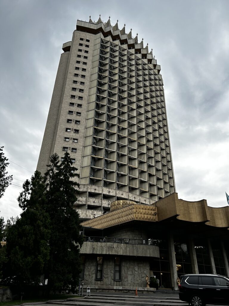
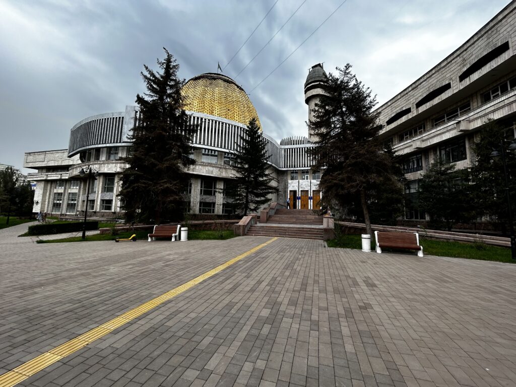
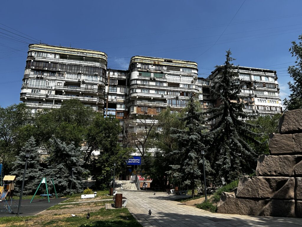
LEFT: The 102m tall Hotel Kazakhstan is Almaty’s third-tallest building, and it dominates its surroundings on Dostyk Avenue. It is designed to withstand earthquakes as strong as 9.0 on the Richter scale. TOP RIGHT: The Pioneers Palace on Dostyk Avenue, built in the 1970s and renovated in 2015, provided a place for children to engage in extracurricular activities during Soviet times. BOTTOM RIGHT: Many of the brutalist-style apartment buildings in Almaty have a widely varied facade, with each apartment owner undertaking significant renovations that make their apartment’s exterior look significantly different from those of their neighbors. Many balconies have been screened in, had bars added, or were turned into sunrooms, while others have been fully enclosed to increase the size of the apartment.